In the first week of June, barges went into WildBlue's main lake. Three cranes were on site, the marine mattresses were ready to place, five or six stretches of shoreline had been cleared, and two docks that had been moved out of the way sat floating on the water. That was the start of the WildBlue Community Development District's Shoreline Stabilization project, which replaces the old retaining wall along the big lake with rock revetment laid over marine mattress.
The work is moving around the lake in a set order, starting with the banks most exposed to wind and waves. Anyone walking WildBlue's shoreline this season will see finished revetment in some places, active construction in others, and older banks the plan has not reached yet. For any lakefront lot, the phase its stretch of shore falls in says more about the next year than anything else.
Four phases, mapped by exposure
The district's phasing plan, drawn by design engineer Cummins Cederberg, splits the recreational lake bank into four pieces: Phase 1A at about 3,444 feet, Phase 1B at about 10,300 feet, Phase 2 at about 14,519 feet and Phase 3 at about 5,776 feet.
The order follows exposure. The engineer's report in the district's May 2026 bond offering describes the first phase as roughly three miles along the northern lake bank, focused on the banks that are "most currently exposed and compromised." The same report says the second and third phases "are considered future phases, which are neither designed at this time nor included within the scope of the 2026 Project." Together, Phases 2 and 3 cover about 20,300 feet, close to 60 percent of the mapped recreational shoreline.
That gives two very different situations around the same lake. A home on the north bank sits on shoreline that is being rebuilt now. A home on a Phase 2 or Phase 3 stretch faces a bank whose final design has not been drawn yet.
What the new shoreline is made of
The design is not a new wall. The district's March 2026 project update includes the design engineer's reasoning. The shoreline is erodible soil, and the lake has a drop-off left by the original mining operation. Sand that washes off the shallow shelf into deep water does not come back the way it does on a Gulf beach, and the shelf has not recovered to its original elevation since Hurricane Ian.
The engineer's answer was rock revetment over a marine mattress that extends past the rock. If a future storm erodes the bank, the mattress flexes down to cover the soil underneath. The engineer estimated erosion of roughly two to three feet in a 50-year storm and sized the mattress to match. The update says a traditional retaining wall could also have been designed for future erosion, but the revetment cost less, and cost was the district's deciding factor.
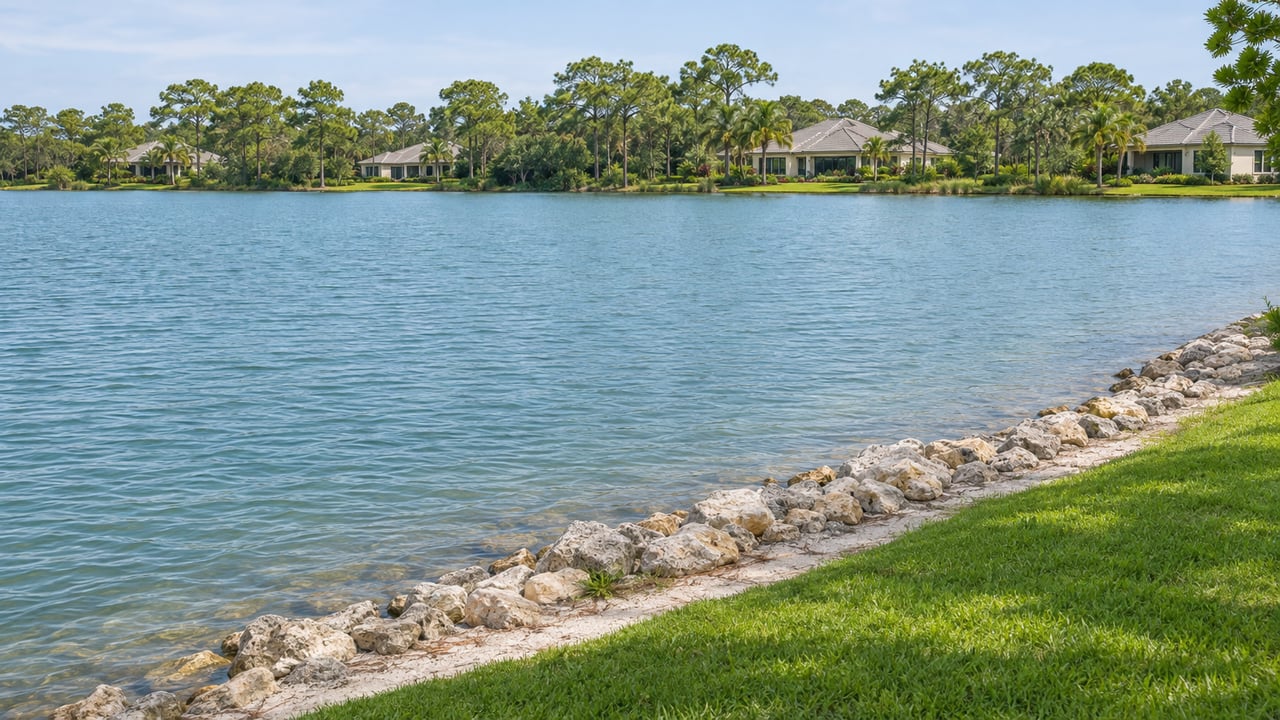
On a finished stretch, the old wall is gone. The construction updates describe marine mattress and rock revetment on the graded shoreline, a rock apron below it, and a restored berm and swale on the land side.
Where the north bank stands
Through June 22, contractor Kelly Brothers had removed the wall and graded about 1,050 linear feet of shoreline, placed mattress and rock revetment along about 800 feet, and installed about 200 feet of rock apron. By July 16 the district engineer reported about 1,200 linear feet of Phase 1A completed. Construction Update #8, dated July 27, described Phase 1A as nearly complete and expected the work to finish around mid-August. It said the rest of the Phase 1 contract was finalized and that Kelly Brothers would continue to Phase 1B as Phase 1A was completed, certified and conveyed to the district. Phase 1B runs about three times the length of 1A. The bond documents target completion of the funded project by the fourth calendar quarter of 2027.
The board's November 5 agenda included a wall project update. The district posts its agendas, minutes and construction updates at wildbluecdd.net, and its posted minutes show how far along the north shore Phase 1B has moved.
Touring the north shore while the work goes on
Anyone looking at homes along the north and northeast shore this season should know two things. During construction, the northern gate entrance is scheduled to be open from 6:30 a.m. to 5 p.m., Monday through Saturday, with no work on Sundays, and marine mattress filling generally runs from 7 a.m. to 6 p.m. every day. A weekday showing on that side of the lake may come with some construction sound.
Docks are the second thing. Phase 1 docks north and northeast of the Amenity Center have to come out temporarily while the shoreline is rebuilt. For Phase 1B, the district's dock schedule says existing steel piles can stay in place and dock landings go back in their earlier locations. When a listing in that stretch mentions a dock, it is fair to ask where the dock is today and when it is scheduled to go back in.
The cost on this year's tax bill
The district funded the 2026 Project with $17,050,000 in Series 2026 bonds, with repayment scheduled through May 2056. The bond documents estimate the project at $16,100,700: $11,502,000 for Phase 1 of the recreational lake bank, $2,051,000 for separate non-recreational lake bank restoration, $1,084,000 for consultants and fees, and $1,463,700 in contingency. The district applied for $30 million in post-Ian recovery funding for the wall, and none was awarded.
For fiscal 2027, the district's adopted budget puts the annual WildBlue CDD charge on its 673 homes at $4,119.93 to $8,827.61 per home, depending on the lot. The fiscal 2026 range was $2,723.44 to $5,283.91. Those figures come from the district's published budget and are general information, not legal, tax or financial advice. Please confirm the charge on any specific home with your closing agent or your own advisor.
Vista has its own lake bank project
WildBlue's gate covers two districts. The Vista section is in the Blue Lake CDD, which has 423 homes: 182 on 50-foot lots, 148 on 60-foot lots and 93 on 75-foot lots. Its fiscal 2027 budget sets totals of $4,017.43, $4,283.43 and $4,682.43 for those three lot widths. Each total includes a lake bank repair assessment of $62.60 per home.
Blue Lake's project follows the same logic of exposure, and it is earlier in its sequence. Board minutes included in the district's November 10 meeting book report that Phase 1 had its Lee County administrative deviation and South Florida Water Management District approval in place, and that the board authorized a limited Notice to Proceed so part of the work could begin with available funds. For Phase 2, the engineers identified about 3,200 linear feet, mostly in the fishtail areas, with no lake bank or shelf damage and little likely damage because of the limited fetch. Those stretches were recommended for littoral plantings rather than rock. The remaining 9,000 or so feet of Phase 2 were still under evaluation.
The pattern holds on both sides of the gate. Open water and sheltered water are being treated differently, so two lakefront homes a short walk apart can face quite different shorelines over the next couple of years. For a look at how the lake system next door connects, see our post on where Esplanade Lake Club's water actually goes. The WildBlue neighborhood page covers the rest of the community around these lakes.
If you are touring lakefront homes in WildBlue this season, I'd be glad to help you place each one on the phasing map and pull the latest district updates for that stretch of shore before you make an offer. Let's Talk: schedule your personalized consultation with Peggy Lotz.